|
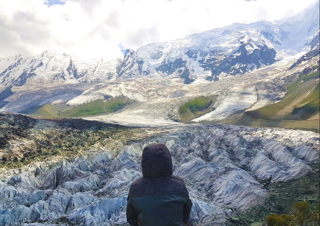
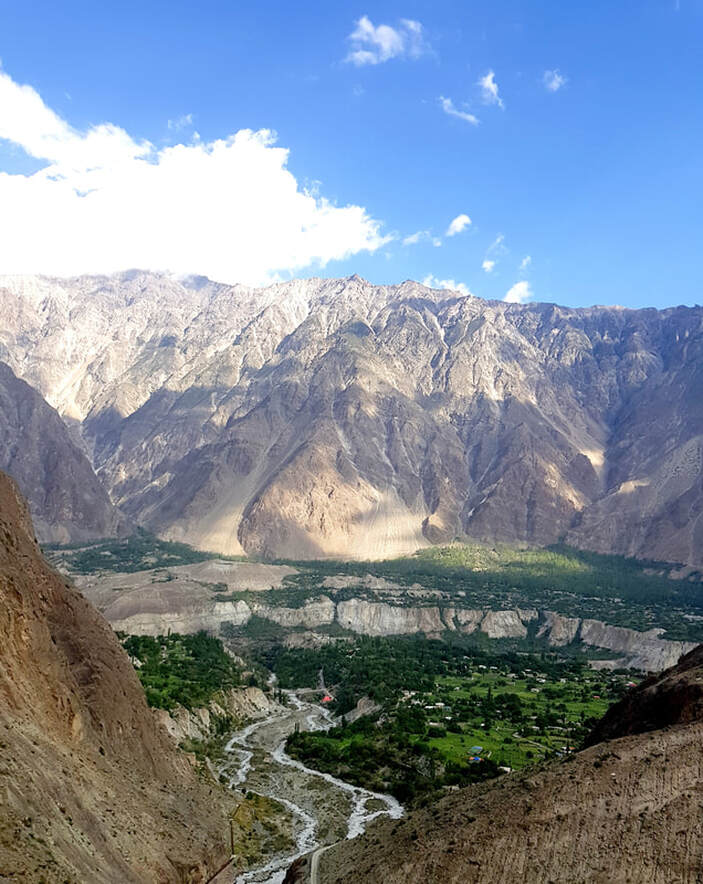
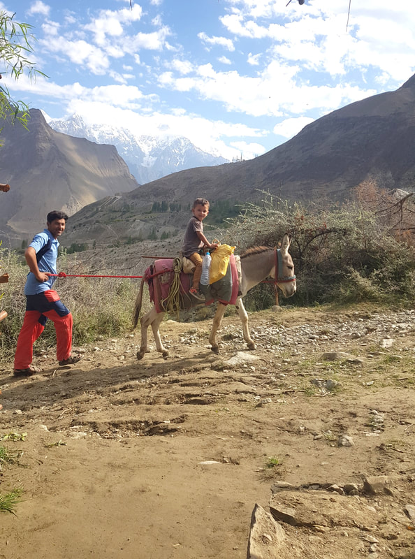
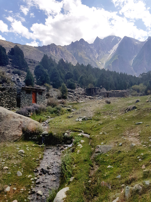
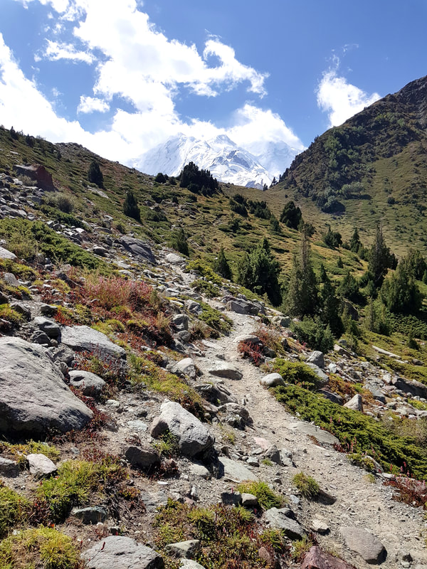
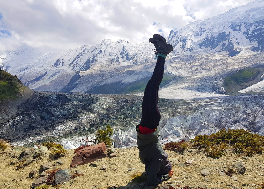
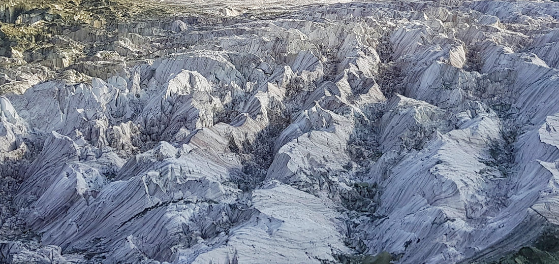
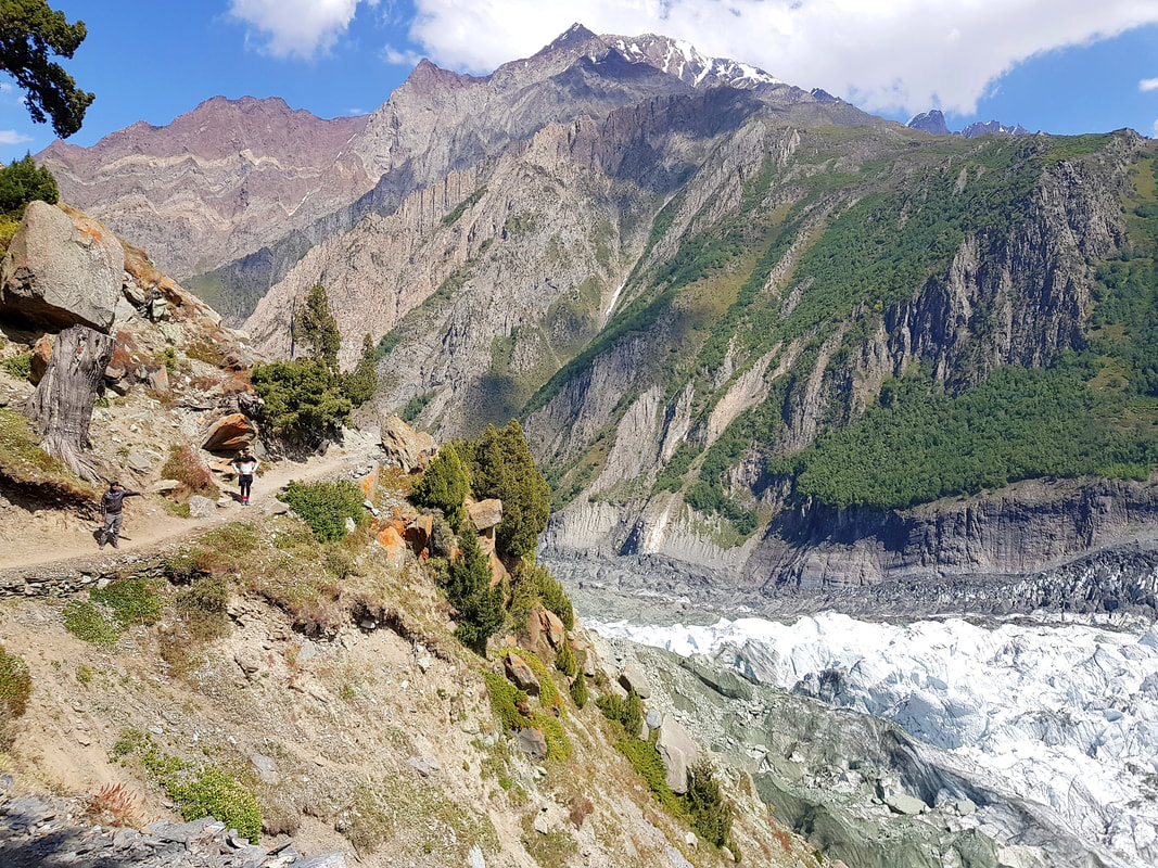
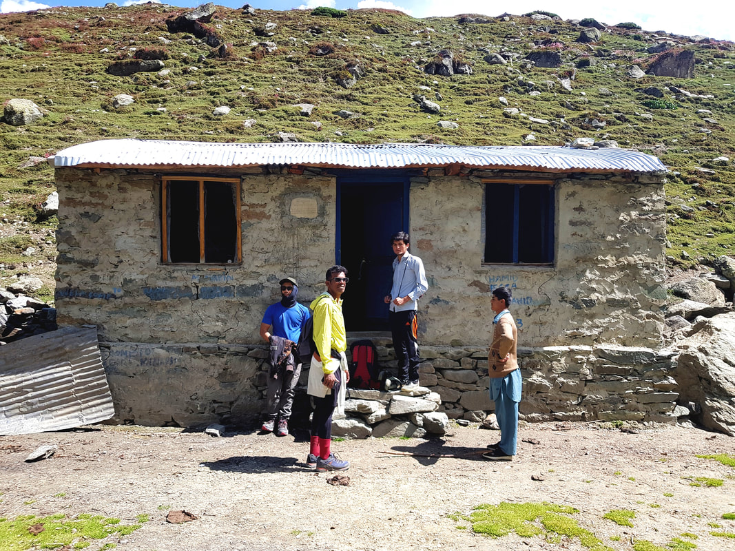
Sometimes when I think about this particular hike, I think that I might be dreaming. Was I really there? Did I really do it? Unlike the Annapurna Base Camp hike that I did last year, I hardly trained or planned for this one. First of all, I’ve never even heard of Rakaposhi Base Camp until right before I went to Pakistan (I mean, have you?). Secondly, because it isn’t popular, there weren’t many reviews of the hike, so it was easy to underestimate it. And underestimate it I did. In the end, I felt that it was tougher than Annapurna Base Camp, in terms of intensity. Rakaposhi Mountain is the 27th highest mountain in the world, mostly known for its exceptional rise from an otherwise normal local terrain (translation: steep). It rises 5900 meters in only an 11.2 km horizontal distance from the Hunza-Nagar River. The Rakaposhi Base Camp is at 3500 meters, and the plan was to climb up, and then back down, all in an entire day (tip: don’t, unless you’re prepped for it.) because of time constraints. I would divide the entire climb up into 4 different legs. The first leg begins from Minapin Village, which is the starting point of the hiking route. Minapin Village is a quaint population within the Nagar Valley, and the locals there are mostly farmers who work the lands up to the mountains. My friends and I met a nice guy from the village called Hussein, whom, while in the midst of applying for college, was bored to death and wanted to come with us on the hike. He claimed that he goes up there at least once a year for fun (what??) with his friends anyway. As soon as you get to the edge of the village near a hydroplant, the track instantly starts climbing in a zigzag pattern. We started very early in the morning, and it was normal to be climbing this part of the terrain with other locals with donkeys as a lot of them would be headed up to their hillside farms to work for the day. An old guy with normal shoes and a donkey surpassed me and disappeared in a matter of minutes without so much of looking even slightly breathless, so you can understand how that messed with my self-esteem a little. At this point your adrenaline wouldn’t have kicked in yet, so the climb will be a little painful. The second leg is a lot easier than the first one. The incline reduces, and you come to nice forested area with beautiful greens and small rivers. On my climbing day there was absolutely no other hiker on these tracks except for myself, two other friends, Hussein and another Australian climber. One of the best things about this climb is that due to its unpopularity, you get the place all to yourself. During this leg of the hike, you’ll come across a small village made of ragged stones and overlooking the mountain ranges. I loved the place – it reminded me of scenes from the Vikings TV Show for some reason. Eventually you’ll walk out of the forested area and into a new territory – vast green fields and a sharp incline of the tracks. You’ll also begin seeing glimpses of the Minapin Glacier. I was so excited to see it, but this is also how you know the second leg of the hike is ending and the next few hours is going to be a bitch (excuse my French). The third leg of the hike is the hardest for me. The ground was unconsolidated, which meant that I had to use more energy to climb, and it was easy to slip and fall on your butt (which I did, twice. The second one hurt). The area was also a lot more open, and the wind and sun made it more challenging. In the spirit of sharing, I must also state that I was on my period, and this caused me to feel tired and dehydrated fairly quickly – I found myself needing more breaks, and needing more snacks. The gradual climb will eventually let you come to a meadow with a beautiful trail and beautiful alpine flowers, and the peak of the Rakaposhi Mountain will be very visible. It was so beautiful I forgot all about my lethargy and raced up to the top. And once you’re at the top of that trail, hold your breath, people. You’re about to see one of the most beautiful sights you would ever lay eyes on – miles and miles of white-as-sheet glacier set at the bottom of an enormous snowy mountain range, the glaciers peeking out as though they were frozen large ice waves. And absolutely no White Walker in sight. Like I’ve said before, one of the best treats of this Base Camp is that it is absolutely void with people, so you get a stunning scenery with zero Insta-star posing for 500 shots at the viewpoints for, you know, ‘content’. Now you can choose to stop here. You can. In fact, most people would. But what you can also do is continue to the fourth leg of the hike – the trail past the Base Camp, and onto the glacier. Yes, you’ve seen the ice sheet, now why not be on it? Follow the trail which will take you to the Base Camp grounds (a secluded area with a camping site, a small building, a dodgy toilet and a small creek), and carry on beyond it towards the direction of the glacier. We had to climb up and down some large rubbles and it was quite exhausting especially after an entire day hiking, but once I got on top of the glacier it felt worth it. Cold ice water streams also meant you can refill your drinking bottles, and while doing so I pictured myself in an Evian ad. If you plan to go back down on the same day, you should begin at the latest around 3pm. This would allow you to reduce the time hiking in the dark, especially through the third leg of the hike where the descend is steep and the grounds are lose, which would be dangerous. You don’t want to be the annoying tourist that caused the entire Minapin village to have to go out and rescue you (and this has happened before, according to locals). Based on my personal experience these would be my main tips (applicable only if you’re an average amateur hiker);
|
Archives
May 2024
Categories
All
https:/
/www.bootsoverbooks.com/
|
